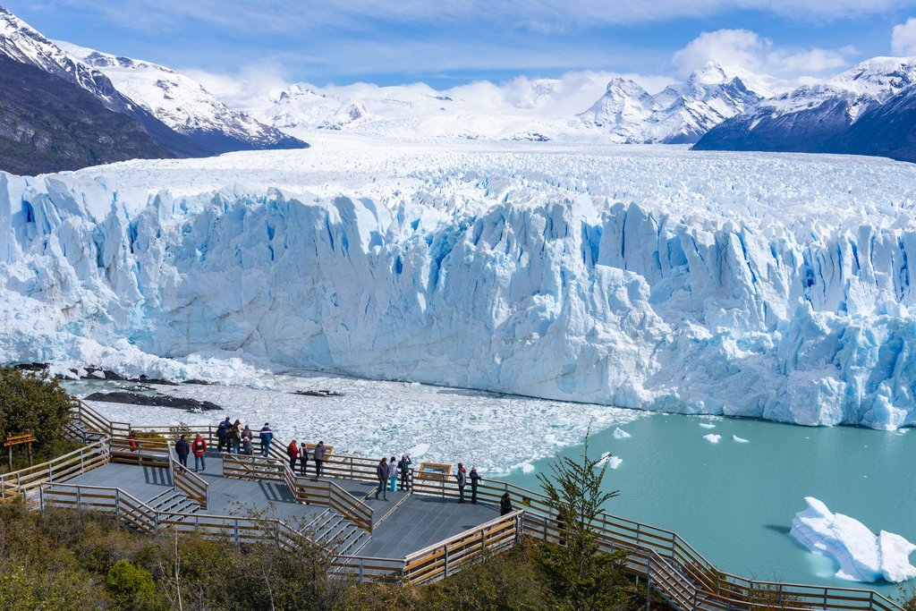
"Hike through stunning Andean landscapes and history."
From La Rioja, the capital of Province La Rioja a very good road to Chilecito (altitude about 1200),20-30'000 people living there. Following North on a mostly paved road with car or Bus you can reach the end of the long village Famatina, 33 km, perhaps 1500m high. Then there is a good 4x4 unpaved road until Mina la Mejicana (Gold, perhaps you will need a permit, it's a private Mine until 5500m). The Name you can see on MS Encarta Atlas are only isolated, poor houses or name of a places. Follow the natural road, Carrizal, Corrales (16km), still small mountains around, and then take the main road who goes more and more in a valley / canyon. At la Encrujicada (32 km from Famatina, 2800m) is a big river coming from the right, good for camping. The main river is VERY DANGEROUS, plenty of sulfuric acid coming from the Gold Mine. Next night I slept at the Base Camp of the Mine. They did'nt allow me to cross the part where they were working. I went right up (more or less a path)until a pass, perhaps 4200m. There you meet the roasted Cable-Carril, 35 km long coming from Chilecito to bring the mine extract down. It was used for tourism on the beginning of the century until a few accidents / death.
From there just follow West a ridge of sans and stones and sometimes a little bit snow (at the end simple crampons or an ice axe can be useful if icy) It's not technical,not steep. When you believe to be on the summit you see on the right the top 300 m higher, covered by snow (2 small summit who seem have the high altitude, so you must do both). I slept at 5500 m the last night, even with big stones I could'nt protect me against incredible strong wind. This Sierra does not belong to the Andes. You see in the far the 6800m peaks Bonete and Pissis at 150-180 km, inbetween the wind is broken by nothing.Sometimes I had to lie down and hold my backpack... The climate is warm in this region and you have to be careful with the water. In november 94 I recieved informations from the man who has a small tourist office in Chilecito (55-60 years) and was a few times on or near the top. His son, he was about 20 had the dream to climb also. Otherwise in most of the years nobody climbs this mountain. Blue sky, wiew on the 200 km distant Andes and the feeling to far from everything. If you are already acclimatated, no problem. I was back after 4 1/2 days, normally it takes longer. No need to be a climber, but in some places you need to use your hands in unstable rocks. P.S : The Numbers of altitude and km are +/-10%, I wrote them by memory, seven year after the trip.